
Show Me the Relief
Show Me The Relief Program
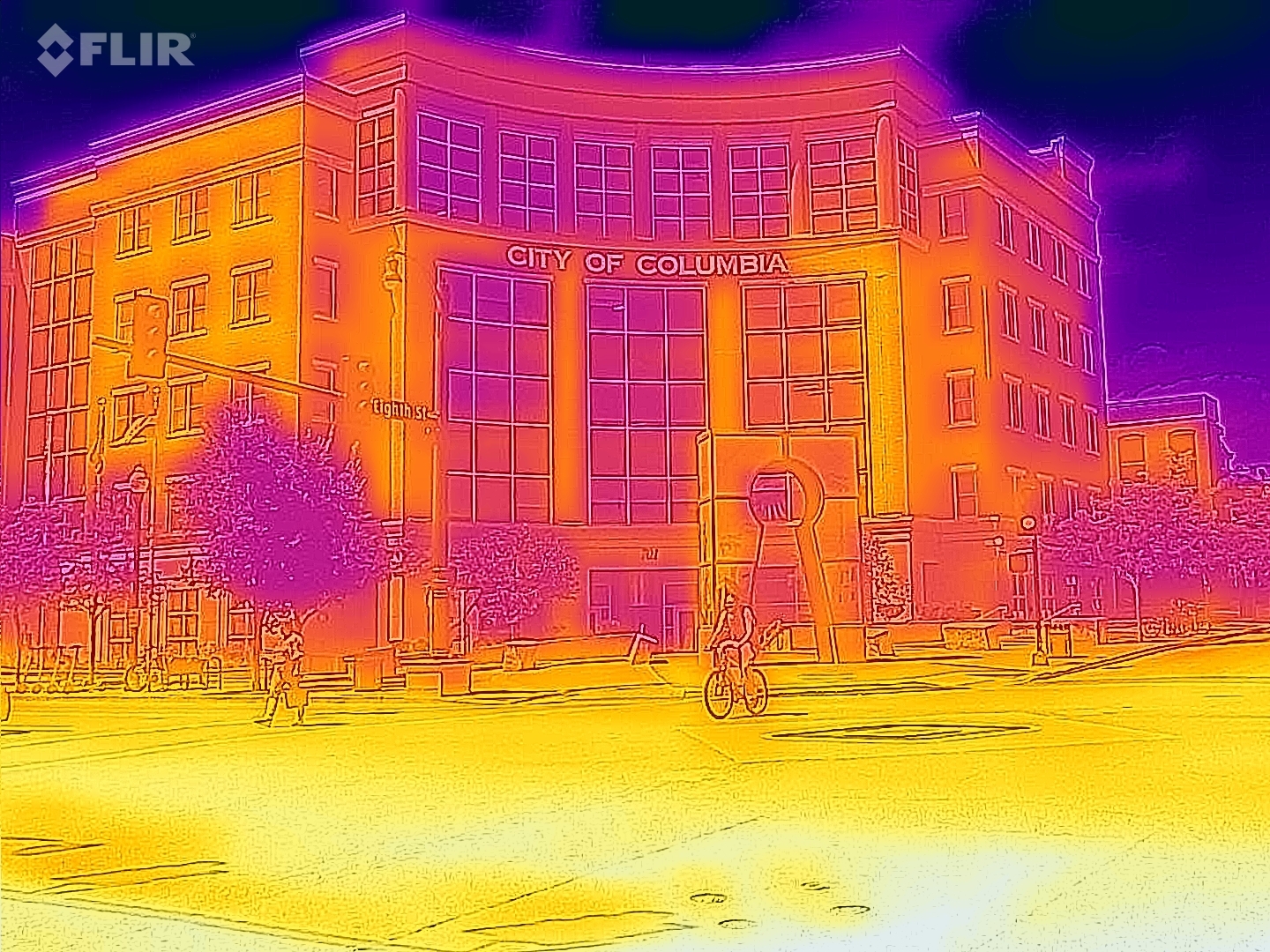
Now, we know where the hottest neighborhoods are in the City, so let’s figure out what we can do to cool those places. Show Me The Relief is doing that by crowdsourcing information from sustainability experts and the people who live in those hot neighborhoods. Bringing together information on ways to reduce urban heat across the landscape and peoples’ lived experiences will help to right size projects for each neighborhood, ensuring that they suit the neighborhood and reduce urban heat.
There are many ways to engage different stakeholders. The Office of Sustainability decided to host Neighborhood Resilience Forums with local community-based organizations who work with people living in these hot neighborhoods. Community-based organizations talk to many different people everyday, and have a sense of what is going on in their communities. Together we designed the process for identifying neighborhood projects with community members.
These forums also identified some first steps we could take to help people protect themselves and their families from extreme heat right now. We created heat preparedness kits that included sunscreen, a water bottle, electrolyte packets, hat, and cooling towel. Another key point folks made at the forums was that most people do not know how to identify symptoms of heat stroke, so we created a heat resource guide to include in each kit. The kits went to organizations such as CoMo Mobile Aid and Flourish to support people facing homelessness, as they are most impacted by urban heat.
Show Me the Relief
Show Me the Relief Mobile Map
The Show Me The Relief mobile map application is useful if you’re out and about town on a hot day and you need refreshment or reprieve from the heat. Find the nearest cooling center, water fountain, splash park, or pool. Click on the icon for a description and directions to the location.
Local Heat Resources
Keep Learning!
Columbia's Resources
- Visit the Boone County Office of Emergency Management heat webpage
- Find Cooling Centers in Columbia
- Apply for financial support to pay high electric bills
Other Resources
- Read EPA's guide for older adults to stay safe during heat waves
- See the EPA guide for planning for extreme heat
- NASA Climate Kids - What is an Urban Heat Island?
- Protect yourself and your family, know the signs of heat stroke. Learn more here.